
Walking in and around Matlock
Walks from Matlock
Matlock Town Council has published a series of leaflets covering walks in the town and the surrounding area. If you would like any of these leaflets in printed form please contact enquiries@matlock.gov.uk
 |  |  |  |
| Masson Hill Walk A 4km circular route starting from Matlock Railway Station, taking in wonderful views of the town Image taken from Geoff’s seat by Chris Cookson | Riber Walk A 5.5km circular route starting from Littlemoor Lane, near Riber. This route passes through the hamlet of Riber Image of Riber Castle from Hall Leys Park by Steven Greenhough | Cuckoostone Walk A 5.6km circular route starting from Highfields School (Upper Site). This quiet route takes you alongside the peaceful woodland of Bottom Moor Image of Bottom Moor | Wellfield Walk A 4.5km circular route starting at Matlock Railway Station, passing through the Denefields nature reserve and visiting the historic Wishingstone Image of wildflowers on Denefields |
Longer distance walks (which go through Matlock)
Derwent Valley Heritage Way
This is a 55 mile walk along the Derwent Valley starting at the Ladybower Reservoir in the Peak District National Park and continuing via Chatsworth to Matlock. The walk continues through the Derwent Valley Mills World Heritage Site in nearby Cromford. Following the riverside path through Derby and continuing onwards to the historic inland port of Shardlow, the walk ends at Derwent Mouth where the Derwent flows into the River Trent.
Further details of the route of this self guided walk are available here

Derwent Valley Walks 11 and 12
Details of these walks can be found here in ‘Derwent Valley Walks 3’
The Limestone Way
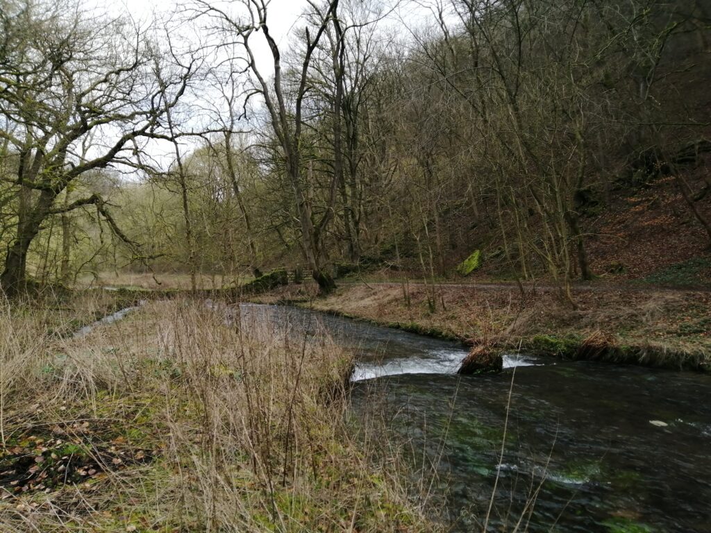
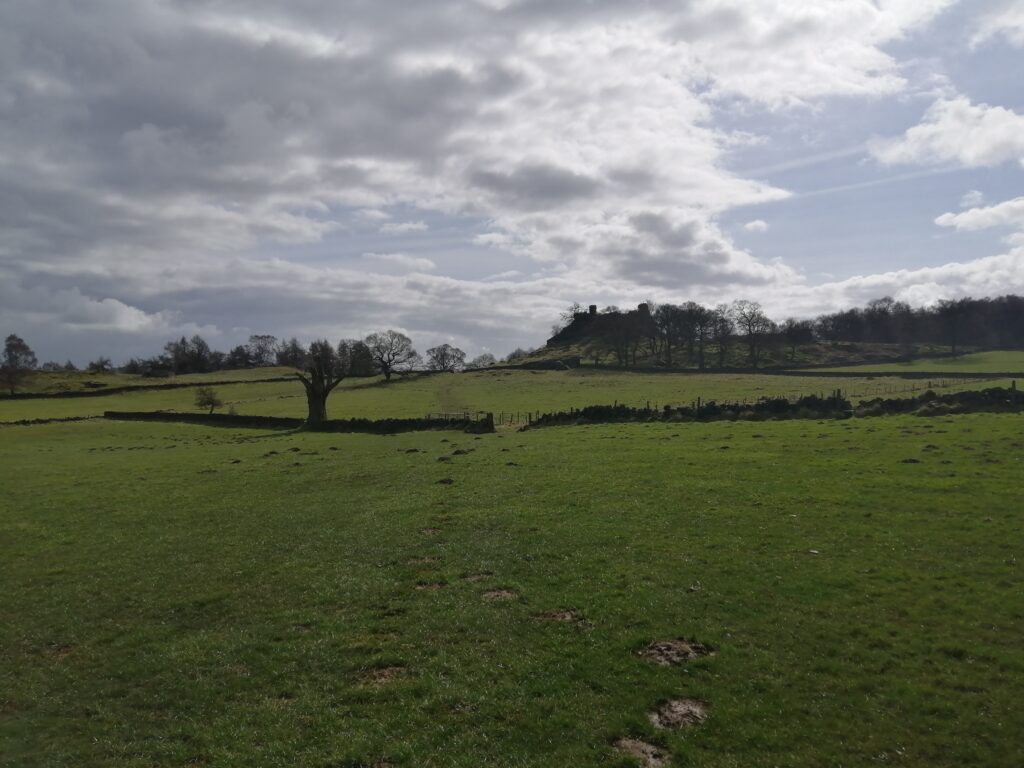

The 46 mile Limestone Way, named after the rock which was formed 300 million years ago, is a waymarked long distance route with spectacular scenery and views from its start at Castleton in the Hope Valley to its end at Rocester in Staffordshire. It passes through the beautiful Derbyshire Dales and there is a ‘spur’ to/from Matlock. More details, including how to purchase a guide book can be found on the Derbyshire Dales District Council website here
Slow Ways
‘Slow Ways’ was created by geographer and explorer, Dan Raven-Ellison and exists to get people walking between locations they might otherwise drive to in the hope that it will promote slower types of travel. Its aim is to create a network of walking routes that connect all of Great Britain’s towns and cities as well as thousands of villages. The ‘triangular’ Slow Ways routes can be used to walk between neighbouring settlements or can be combined for long distance journeys.
Matlock Town Council maintain around 24 miles of public footpaths in the town and is keen spread the word about this exciting new project.
If you would like to get involved or want to know more, take a look at the Slow Ways website – www.slowways.uk